NVS-03 reaches geosynchronous orbit after four burns
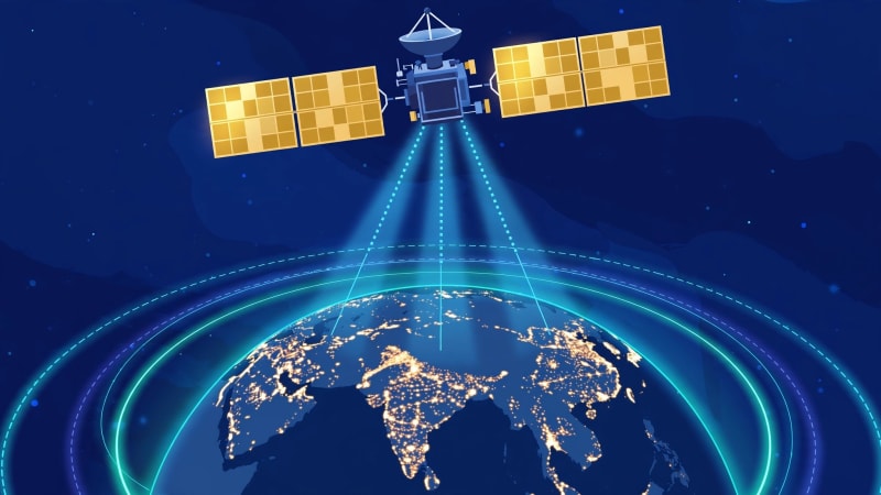
According to a report of ISRO's 4 November update, the orbit now measures about 35,765 kilometres at its closest point to Earth and 36,196 kilometres at its farthest point, with an inclination of 29.98 degrees. That near-circular path is a long way from the stretched transfer orbit into which the rocket first delivered NVS-03, and it puts the satellite close to the working position ISRO planned for it.
The change since launch
The change is in the shape of the orbit, not just in the satellite's height. At launch, NVS-03 entered a geosynchronous transfer orbit of about 170.3 by 38,080 kilometres. That orbit was useful as a stepping stone, but it was not the orbit from which a navigation satellite can do steady work. A series of firings of the satellite's Liquid Apogee Motor (LAM) then raised the low end of the orbit in stages. A report of ISRO's 4 November update records four manoeuvres in total, with a combined LAM firing time of 6,164 seconds. ISRO also reported that the satellite's health is normal. The first of those manoeuvres, on 31 October at 16:48 IST, lasted 2,174.8 seconds and moved the orbit to an estimated 5,477.6 by 37,833.4 kilometres. The later manoeuvres completed the move to the near-circular geosynchronous orbit reported on 4 November.
Timeline of steps
| Date | Milestone |
|---|---|
| 30 October 2026, 23:51 IST | GSLV-F18 lifts off from Sriharikota and places NVS-03 in geosynchronous transfer orbit |
| 31 October 2026, 16:48 IST | First orbit manoeuvre completed; LAM fired for 2,174.8 seconds |
| 4 November 2026 | ISRO update records four manoeuvres completed and a geosynchronous orbit of about 35,765 by 36,196 kilometres |
| Next stage, date not announced | In-orbit checks and commissioning before routine navigation service |
Why NVS-03 matters for NavIC
NavIC, short for Navigation with Indian Constellation, is India's regional satellite navigation system. It is designed to provide positioning, navigation and timing services over India and a region extending about 1,500 kilometres beyond its borders. Those services matter for everyday uses such as tracking trains, vehicles and ships, and for systems that need a shared, precise sense of time. NVS-03 is the third satellite in the second-generation NavIC series, a five-satellite programme numbered NVS-01 to NVS-05. It carries navigation signals in the L1, L5 and S bands. The L1 signal is the addition that widens the range of ordinary receivers that can use the system, alongside the L5 and S-band signals the system already uses. There is an important limit on what can be claimed today. Reaching geosynchronous orbit is not the same as entering routine service. ISRO has not, in the updates checked for this post, announced that NVS-03 is now serving users. The satellite still has to complete in-orbit checks and commissioning, and its designated slot is 111.75 degrees East. Until that work is done, the accurate statement is that the satellite is in its intended orbit and healthy, not that it is already guiding users.
What do the technical terms mean?
NavIC: Navigation with Indian Constellation, India's regional navigation satellite system, also known by its earlier system name, the Indian Regional Navigation Satellite System (IRNSS). GSLV: Geosynchronous Satellite Launch Vehicle, the rocket family that carried NVS-03. The 30 October flight, GSLV-F18, was the 20th flight of the GSLV programme. Geosynchronous transfer orbit: A stretched, temporary orbit used to carry a satellite part of the way to its working height. The satellite's own engine then reshapes that orbit. Geosynchronous orbit: A high orbit, roughly 36,000 kilometres above Earth, in which a satellite circles the planet in about the same time Earth takes to rotate once. Liquid Apogee Motor (LAM): The satellite's onboard engine, fired near the high point of its orbit to raise the low point and move the orbit towards its final shape.
What happens next?
The next announced stage is in-orbit testing and commissioning at the designated slot, though ISRO has not given a public date in the updates checked for this post for when routine navigation service from NVS-03 will begin. NVS-04 and NVS-05 remain planned as the fourth and fifth satellites in the second-generation series. Watch for an ISRO update confirming that payload checks are complete, because that, rather than the orbit milestone alone, is the point at which NVS-03 can be described as an operational addition to NavIC.
Further reading
ISRO: Orbit manoeuvring of NVS-03 spacecraft PIB: GSLV-F18/NVS-03 mission backgrounder Report of ISRO's 4 November update on NVS-03 reaching geosynchronous orbit IDSA analysis of NVS-03 and NavIC strategy NavIC coverage and applications 📷 Illustration: AI-generated
Questions people ask
- What is NVS-03?
- NVS-03 is India's newest navigation satellite and the third satellite in the second-generation NavIC series. It was launched by GSLV-F18 on 30 October 2026.
- Is NVS-03 already providing navigation services?
- Not on the evidence checked for this post. A report of ISRO's 4 November update puts the satellite in geosynchronous orbit and healthy, but routine service still needs in-orbit checks and commissioning.
- What orbit is NVS-03 in now?
- A near-circular geosynchronous orbit of about 35,765 by 36,196 kilometres, at an inclination of 29.98 degrees, according to a report of ISRO's 4 November update.
- What is NavIC used for?
- Positioning, navigation and timing services over India and about 1,500 kilometres beyond its borders, including vehicle and vessel tracking and precise timekeeping.
- What comes after NVS-03?
- NVS-04 and NVS-05 are the remaining planned satellites in the five-satellite second-generation series.
Sources
- ISRO: Orbit manoeuvring of NVS-03 spacecraft (isro.gov.in)
- PIB: GSLV-F18/NVS-03 mission backgrounder (static.pib.gov.in)
- Report of ISRO's 4 November update on NVS-03 reaching geosynchronous orbit (dharmakshethra.com)
- IDSA analysis of NVS-03 and NavIC strategy (idsa.in)
- NavIC coverage and applications (stratnewsglobal.com)
Editorial note: This story was researched from public sources and drafted with the help of AI tools. It was then read, checked against those sources and approved by the Gagariya editorial team before publication. How we work.
Keep reading
science · 5 Nov 2026
Space debris scare delays Shenzhou-20 crew return
Shenzhou-20's 5 November return is postponed over a suspected debris strike. The three crew members stay aboard Tiangong pending a risk assessment.

science · 5 Nov 2026
Typhoon Kalmaegi kills 66 in Philippines, heads for Vietnam
At least 66 dead, 26 missing and more than 400,000 displaced as Typhoon Kalmaegi crosses the Philippines toward Vietnam.

science · 4 Nov 2026
Cyclone Murasu ओंगोल से टकराया, अब कमज़ोर पड़ रहा है
मुरासु ओंगोल के पास तट से टकराने के बाद deep depression में बदल गया है। जानिए टाइमलाइन, यात्रा पर असर और आज की चेतावनी।

science · 2 Nov 2026
चक्रवात मुरासु आज रात आंध्र तट से टकराएगा
मुरासु अब प्रचंड चक्रवाती तूफान बन चुका है। आज रात आंध्र तट पर लैंडफॉल, कई जिलों में रेड अलर्ट और तटीय इलाकों में भारी बारिश का अनुमान है।
science · 1 Nov 2026
बंगाल की खाड़ी में नया सिस्टम, आंध्र तट पर भारी बारिश अलर्ट
बंगाल की खाड़ी में नया निम्न दबाव क्षेत्र 2 नवंबर की शाम तक आंध्र तट के पास पहुँच सकता है; तटीय आंध्र और यनम में अत्यंत भारी बारिश का अलर्ट, लैंडफॉल अभी अपुष्ट।
science · 31 Oct 2026
भूटान में ग्लेशियल झील फटी, बंगाल-असम में अलर्ट
भूटान में ग्लेशियल झील फटने से संकोश नदी में बाढ़ का खतरा पैदा हुआ। अलीपुरद्वार और धुबरी अलर्ट पर रहे, हजारों लोग सुरक्षित स्थानों पर पहुंचे, और 30 अक्टूबर की शाम तक नदी खतरे के निशान से नीचे थी।
The day’s verified stories, one email, 7 am IST. No noise.